

Precision Data Ops
Aerial thermal imaging and infrared roof scans, plus visual and mapping data for industrial and agricultural assets.


Minimize Costs
& Efficiency
We utilize professional drone technology to safely capture imagery of complex structures and deliver clear, organized data for your assets.
Our Services

Thermal Roof Scans
Infrared imagery capture and thermal variance documentation for insurance claims and contractors.

Construction Services
Recurring aerial documentation and progress visibility for active construction and development sites.

Media & Film
Aerial cinematography for film and media.

Utility Aerial Imaging
Faster and safer aerial imagery capture for transmission, distribution and corridor assets.

Search & Rescue
Rapidly locate your lost people, pets, big game. Advancing search teams with real-time mission oversight.

National Reach, Local Execution
Qualified pilots positioned across the country, deployed and managed through one central team.

Centralized Coordination
Fewer handoff issues. One point of contact from initial scoping through final data delivery.

Safety-First Operations
Disciplined field execution with Part 107 compliance, LAANC authorization, and full insurance on every flight.

Decision-Driven Deliverables
Thermal documentation packages, models, and data outputs built for engineering, construction, and asset-management workflows.

We take data security seriously. All flight logs, thermal data, and imagery are stored locally and processed on-premise. We do not use third-party cloud sharing, ensuring your proprietary site data never leaves our secure custody.
Data & Security
Axis Aerial operates as a dedicated team of expert pilots who facilitate end-to-end site analysis and high-caliber data management nationwide.
THE AXIS AERIAL DIFFERENCE
Single Source Oversight. Reliable Performance Anywhere.
◆
Centralized project management and responsive communication
◆
Pilot deployment matched to project needs and site complexity
◆
Standardized capture, processing, and QA across regions
◆
Deliverables built for real engineering workflows
◆
High-value execution for single and multi-site programs
Industries We Serve

Thermal Roof Scans
Infrared imagery capture and thermal variance documentation for insurance claims and contractors.

Utilities
Thermal and visual imagery of utility infrastructure, highlighting thermal anomalies for your team's review.

Police & Fire Departments
Thermal overwatch for search and rescue, fire scene hot-spot detection, and aerial documentation for incident response teams.

Construction
Recurring monitoring, mapping, and project documentation for stakeholders, developers, and asset owners.

Solar & Renewables
Thermal imaging of PV arrays, construction progress imagery, and documentation for PV developers, IPPs, and O&M teams.

Media & Film
Aerial cinematography, location scouting imagery, and production support for film crews, studios, and content creators.
how we partner
A streamlined flow from initial scoping
We scope carefully, communicate clearly, and stay engaged through final handoff - so your team has fewer coordination issues and more confidence in the outcome.
step 01
Define scope and align on objectives
Share your project details - service, location, timeline, deliverables, and accuracy requirements. We recommend the right approach and confirm scope.
step 02
We manage coordination and field execution
Axis Aerial handles planning, pilot deployment, airspace compliance, and field operations - keeping you informed at every stage.
step 03
Data Review, QA/QC, and seamless delivery
Every output - imagery, models, thermal anomaly maps, CAD files, documentation packages - is reviewed against project specs before delivery.



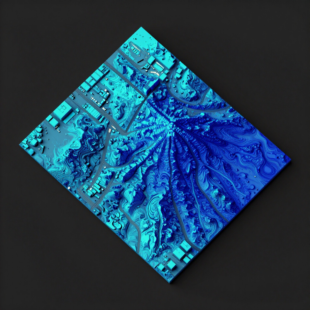
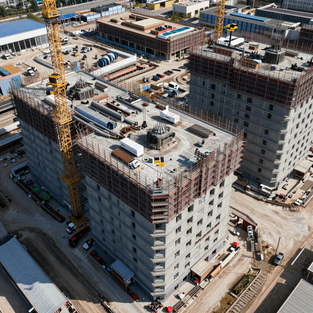
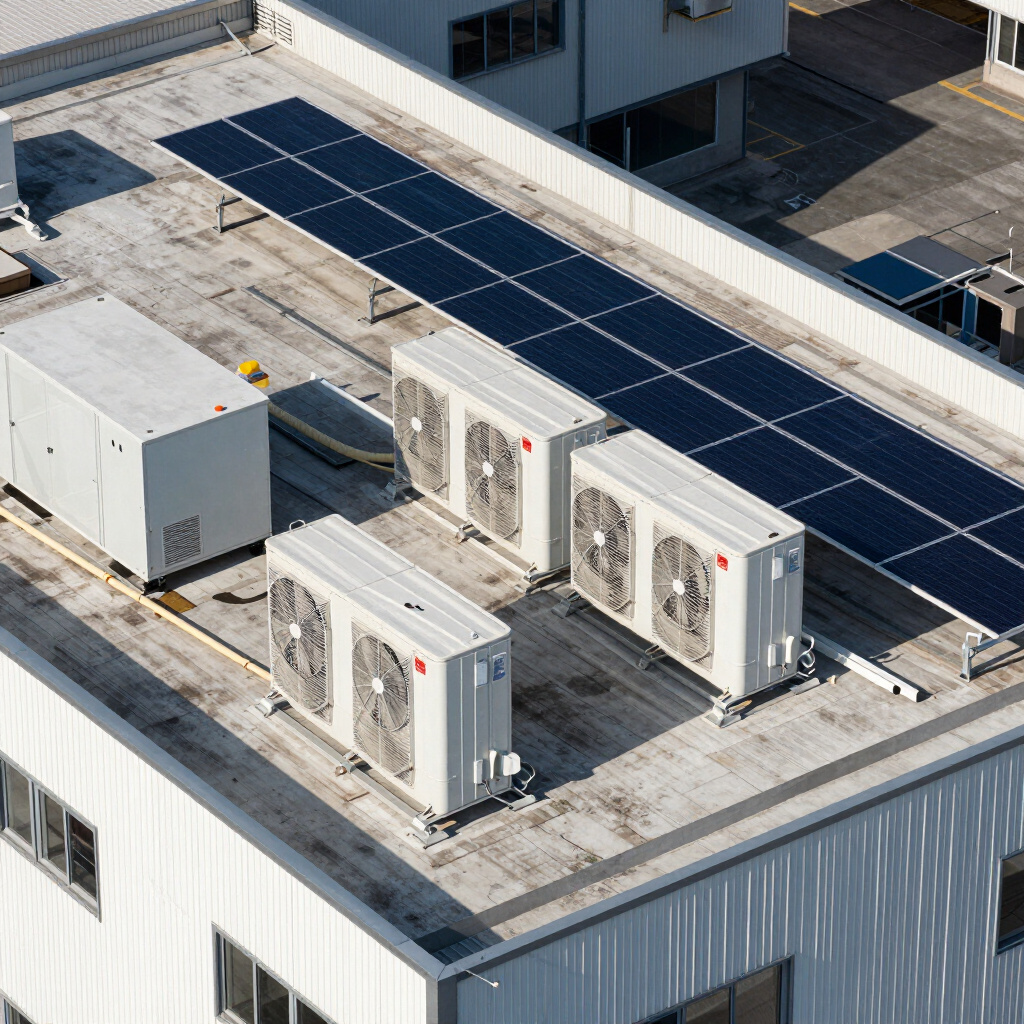
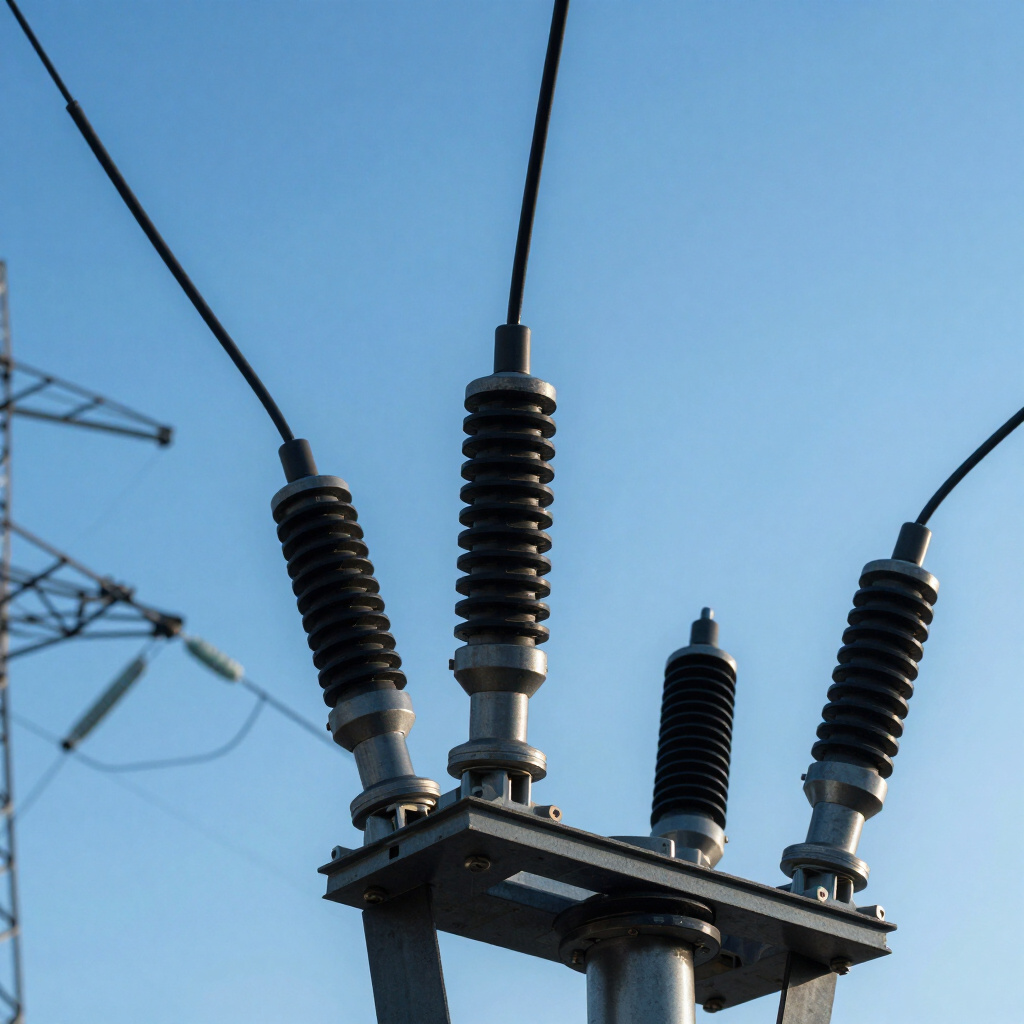

RECENT WORK
From the flight deck
100%
customer satisfaction
24–48h
Quote turnaround
100%
PART 107 CERTIFIED & INSURED